Frequently Asked Questions
About the LHA
How can I join the LHA or view volunteer opportunities?
Anyone is eligible to join LHA and you don’t have to live on the lake. You can find a membership form on the back of our newsletter or on our web site here. Just fill it out, send it in with the membership dues, or complete the online application and payment, and you will be a member. The membership form has a section where you can see committee opportunities for which you can volunteer. You can also see those on the bottom of the Join Us page.We are always looking for volunteers.
I’m interested in joining a committee. What do I do?
LHA is always interested in involving members in the various committee activities. We need volunteers. You should let one of the board members know of your interest and the committee activity you would like to work in. You can do this by calling, writing, or sending an email. A convenient email form is available on this web site on the Contact page.
What is the LHA Board of directors and their responsibilities?
The LHA Board of Directors is a group of men and women (volunteers) that have been elected by the membership of LHA. Each director serves for a term of 3 years. Their responsibilities include overall control of the affairs of LHA, policy making, coordination, communication, and committee responsibilities.
Who may attend the LHA Board meetings?
Board meetings are open to all LHA members.
Who are the officers and members of the LHA Board?
Officers of the LHA board include the president, vice-president, secretary, and treasurer. Other members of the board usually serve as chairpersons of various committees and functions such as publications, programs and publicity, legislative, safety, technical, and web site. A list of current officers and board members can be found at the Officers & Directors page of this web site.
How can I get in touch with the LHA?
You can get in touch with LHA by writing to the President, vice-President, or other board members at Lake Hartwell Association, Inc., PO Box 2122, Anderson, SC 29622, or you can call 1-864-224-LAKE (5253). A third option is to send an email by going to the Contact page where a form is available.
Where can I obtain a copy of the LHA Bylaws?
A copy of the bylaws can be obtained by contacting the LHA president or other board member.
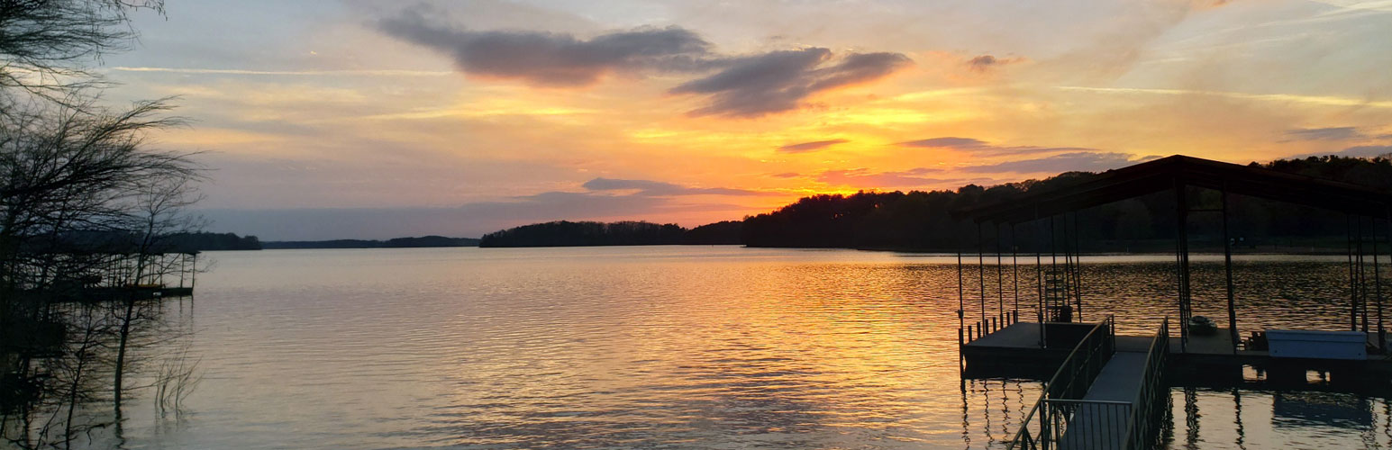
About the Lake
Where can I get information about the history of Lake Hartwell?
The best place to find information about the history of Lake Hartwell is the US Army Corps of Engineers (USACE) website. This site has photos, early regional history, and other references and links to the early development of the water resources of the Savannah River Basin.
What is the Shoreland Management Plan, and where can I find information about it?
The shoreline management plan is a set of guidelines for general use of the Lake Hartwell Public Lands – including the types of private uses and activities which may be permitted (such as boat docks, underbrushing, utilities, etc), and the applicable rules and regulations. It provides guidance and information to the public, specific to management of the Lake Hartwell Project shoreline. The USACE developed the plan with input from the general public. A copy of the shoreline management plan can be found here.
Do I need a permit to install a dock?
Yes. Anyone wishing to install a dock must obtain a permit from the USACE. Permits for docks can only be obtained for shorelines zoned green.
Actually there are four zones, orange, red, yellow, and green that are outlined on maps of Lake Hartwell to regulate uses of the various sections of shoreline. These maps can be viewed at the USACE office and the zones are defined in the Shoreline Management Plan. Orange zones are prohibited access areas where public boating and pedestrian access is not allowed. Less than 1 percent of the shoreline is zoned orange. Red zones are recreation areas designated for public use such as Federal, State, and other public use such as concession areas. No private uses or activities such as boat docks, underbrushing, etc., are permitted in red zones. Approximately 24% of the shoreline is designated as red zone. Yellow zones are protected shoreline areas where limited private activities are permitted, such as some underbrushing and bank stabilization. Boat docks, utilities, and walkways are not permitted in yellow zones. About 26% of the shoreline is designated as yellow zones. Green zones are limited development areas where boat docks and certain land based activities may be authorized. About 50% of the shoreline is designated as a green zone.
I’m interested in buying property on Lake Hartwell. How can I find out if I can have a dock?
The best way to find out is to visit the USACE office, take the specific location you are interested in, and get their answer regarding a dock permit. Be sure to ask if a permit can be obtained for a dock, and obtain information regarding shoreline regulations. Permitting ability and shoreline use can have a significant affect on property use and value.
The USACE property has a lot of big and small trees, some of which are dead or dying. Can I cut any of them (dead or alive) down?
In order to cut trees on USACE property you must get permission from the Corps. A Ranger will usually come to the property, inspect the situation, and mark trees that may be cut down. It is then your responsibility to cut the trees that are marked. There must be some specific reason for cutting a tree (dead or alive), such as the fact that it is a danger to a dwelling or other entity, before permission can be obtained to cut it down.
Various maps of Lake Hartwell can be obtained at some stores, such as sporting goods stores, boating supply stores, marinas, etc., in the area around Lake Hartwell.
Where can I launch a boat on Lake Hartwell?
Public boat launch ramps are available State Parks, USACE parks, marinas, and a few designated boat launches. Some of these are free, whereas others may require a small fee. Most of the boat launch areas are shown on the Lake Hartwell maps.
Is information available about using landscaping to prevent shoreline erosion?
Some information about shoreline protection can be found in the shoreline management plan. However, a permit is required so it is best to contact the USACE for specific guidelines regarding landscaping and other methods of shoreline protection.
What are the normal pool levels for Lake Hartwell?
The normal pool levels vary during the course of the year, and are governed by what is known as the “rule curve”. The rule curve follows the general course of high in the summer, low in the winter. Full pool in the summer is at elevation 660 ft msl, and full pool in the winter is 656 ft msl. The rule curve specifies that the lake should gradually decline from 660 ft to 656 ft between mid-October and early December, hold steady at 656 ft between early December and early January, then gradually increase from 656 ft in early January to 660 ft in mid-April. Between mid-April and mid-October the lake should remain at 660 ft if possible. Obviously this cannot be attained precisely because of heavy rainfall at times and extended periods of drought at other times. However, over the course of more than 40 years the average lake level has followed the rule curve fairly closely, except that the average has declined from 660 earlier in the summer than specified by the rule curve.
Where can I find historical lake level information?
Historical lake levels for each day since 1962 can be found at the USACE website here. Click on “annual summary” and proceed through the site to find the data you are looking for.
What is the Lake Hartwell drought plan and where can I find a copy of it?
The Lake Hartwell drought plan is actually a plan for the entire Savannah River Basin, and includes Lake Russell, Lake Thurmond, Lake Hartwell, and the reach of the Savannah River below Lake Thurmond. The plan is designed to reduce the amount of water released from the 3 lakes during periods of severe drought. As a drought becomes extended and of greater severity, the drought plan enters different levels, each level specifying that less water be released than during the previous level. It is a complex plan requiring considerable data input, computer analysis and various computer simulations. It is beyond the scope of this question and answer section, however the complete plan can be found here.
About the Website
How do I upload my photos onto the site?
A photo gallery is included as one of the pages of this web site. If you have photos that you would like to post on the photo gallery page, please send them to the webmaster in a digital format, preferably as a 72 dpi JPG file no larger than 1280×960. Please send only photos of the lake, people on the lake, boating activities, fishing events, etc. If you send photos of identifiable people, please be sure you have permission from those people to post their picture on the website. Please do not send photos that would be considered advertisements, or photos that are in poor taste or of a vulgar nature. Judgment regarding selection of photos to post will be up to the webmaster and board of directors.
How do I post comments or questions on the site?
We currently do not allow the posting of comments or questions directly on the website, however your comments and questions can be sent via our Contact form and we will try to respond as quickly as possible.